$350.00
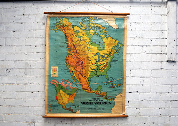
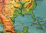
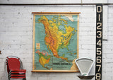
This stunning vintage school map of North America was made by Chas H Scally & Co dating back to around the 1950/60's.
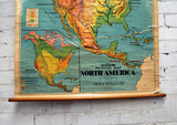
The modern physical map of North America covers Canada, USA, Mexico and Central America.
It is in good vintage condition with gorgeous hues of orange, yellow and green offset by the deep aqua blue.
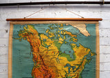
Please note: slight creasing and ageing to the edges of the map, some watermarks, and also some small rips due to years of being rolled up & down in the classroom, however these are all in keeping with the age of the map and add to its vintage charm and aged patina!
Also note the bottom right hand side of the map has slightly come away from the rod base, and also the top left side - however the map still hangs fine from the existing rods.
Comes with cord ready to hang on your wall!
Dimensions: 95cm wide x 1.17 metre long
